I didn’t ride yesterday nor today. Yesterday was because I ran and today was because I didn’t feel like it (though I did a short recovery run to walk the dog… walking can be so boring). But, I can and will tie this into “where did I ride outside” before with the below video. You can’t really tell, but it had been raining until shortly before I hit the summit.

My run was up to a ridgeline view spot (with restaurant “attached”). Though the initial frame includes hills and an unseen lake due to clouds, the real reason for sharing starts at about 10s.
At 5s, obscured by clouds and barely visible are unseen trails under the canopy that I often post pictures of here.
At 11s, in the middle-ish and in the far distance is Rapperswil, with the picturesque 13th Century castle I often post pictures of on road rides around Lake Zurich.
Also here but in the middle-distance is a paved road that is after my “fun” steep (up to 25%) gravel climb I post, a road that connect to trails along and in the forest beyond.
At 15s, you have a good panorama of the forest(s) with some of the trails I post pictures of. The clouds in the middle are along the river. This side has some great riding as well, and fewer people.
At 26s, totally hidden by clouds is Zurich.
At the end, unseen because of the trees is a small lake that has appeared here before for both road and trail rides.
The approach to this vantage on the run came from the start of the video, the departure along the path at the end of the video. You can get here by bike, just not the way I came. For the bike, the only real way up is by pavement but it’s not interesting compared to what else is here. There is a new sign for the route I took down:
This route is really rough without shocks (ie on my gravel bike) and often simply dangerous. It seems obvious to me that because of the number of walkers, some with dogs, some with kids, and the MTBs barrellng, they this up.
On my ascent, some of the trails had been open to bikes when I first started running here nearly 7 years ago. I figure there were too many MTBs barrelling down steep trails, some very technical, and surprising if not colliding with hikers, including elderly hikers. This means the pics below are from trails near or in-between trails I ride and have shared here before. Horses are also now prohibited from these sections, some of which I figure because they can be really sketchy, especially when wet, with a layer of wet leaves, and snow (this is a no-go zone if there’s a hint of ice… I’ve tried and regretted it with my tailbone, an experience had while recovering from broken ribs in '18).
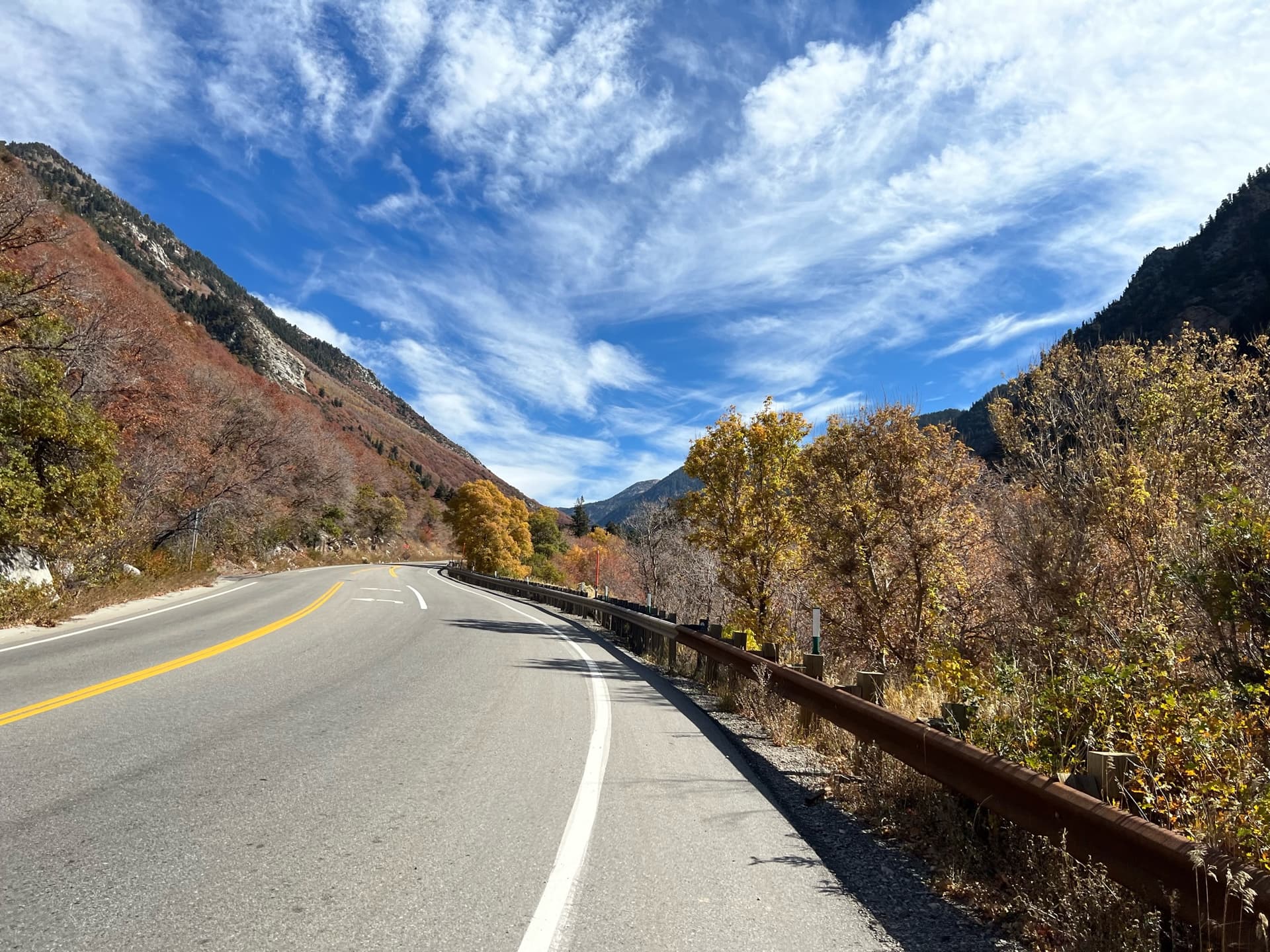
The sky continued to clear as I descended and got onto trails I ride, meaning this pic could have been taken while in the saddle.
That’s it. The run, by the way, was 8.4 miles with 1900’ of ascent.