More like a Tandy TRS 80
2 Likes
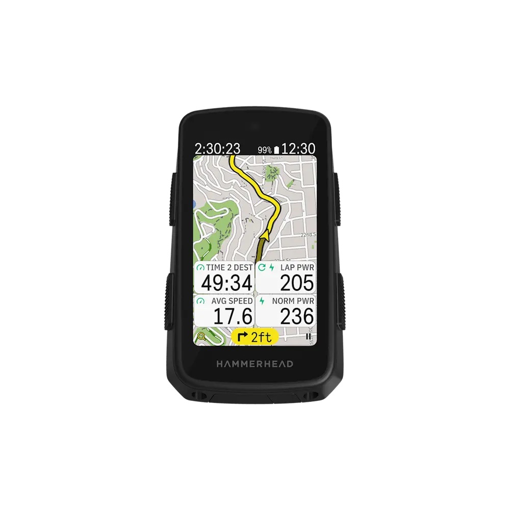
you see…it’s hard to choose, many options … ![]()
Remind us, how the Wahoo radar sensor handles firmware updates.
2 Likes
What’s your point?
Because Wahoo offers none, having to tether it to a computer via USB becomes more acceptable? I don’t think so. My ancient Bolt v1 can either update itself without a smartphone or I can trigger an update via the app. My point was that some Garmin products also have areas where they have technical debt and are more ancient that you would expect. But Garmin is working on that, too.
Their 1050 head unit makes it clear where the company wants to be. And to be also clear, their initial release of the 1050 was, as far as I can tell, very good (≠ Coros Dura or Wahoo Elemnt Ace).
This is a big one. I’d love it if I could switch my lights on and off via a blip button on my Wahoo head unit. I would have ordered two blip buttons years ago if I could have more options with my Wahoo.
Do Garmin head units automatically pre-select profiles if e. g. they detect a certain power meter? Say, I have power meters on my road bike and my mountain bike. Would it pre-select the right one, depending on which sensor is woken up? That seems like such a big no brainer, but I don’t know whether that has been implemented already.
2 Likes
This is a really good idea, but to be fair, when you power the Garmin on, the first thing you see is the profile, and you just swipe between them. It’s not 100% optimized, but it is just a swipe or two left or right. Also, my road bike and my gravel bike are the same bike, so unless it could detect wheels, I would have to turn this off.
1 Like
I’m surprised nobody has implemented this yet. Ditto for Strava, which for some reason did not do this automatically either.
I understand. Ah, I see. It’d still be nice if this were a feature and on by default, though.
1 Like
Just to clarify, you can update the firmware on a varia radar via the garmin express app if you also have a garmin head unit. I accept that not everyone does though and the cable is the only way for those people ![]()
Until users want to do a bit more with their ride data - then it’s “evil Garmin wont let me updoad my wahoo rides into Garmin Connect” ![]()
2 Likes
I think the data storage problem is bigger than that: thanks to Strava reminding us that our data is not considered to be our data. Garmin’s behavior seems par for the course here. I don’t like the lock-in that this implies: if you own a Garmin head unit now and would like to switch to the Coros Dura 2 or the new Hammerhead, data lock in should not be part of that consideration.
Anyway, I don’t want to wax on lyrically on that subject, that’d veer this thread off course.
Yes, I am aware, and I should have been more precise here. Obviously, my head unit is from Wahoo and I plan on using it until it breaks or its battery life becomes unacceptable. I’m not missing any features. Climb Pro is nice and all, but this is a case of “Does it make a sound when a tree falls over in a forest and nobody is there?” — I live in an area where it is completely flat ![]()
2 Likes
This drives me nuts around where I ride. Have to zoom in so far to see the lesser traveled roads that I want to be on, but as soon as I zoom out to see where the roads go they disappear! Is this a Wahoo only thing?
2 Likes
The number of ways I’ve heard people explain how it should autoselect a profile shows that any feature implementation would be deemed “too complicated” by the masses.
3 Likes
I hate Google maps for this, even made a bug report/feature request maybe a slmost decade ago but they just pointed me to the bike path overlay🤬 Google maps is absolutely useless for cycling or walking around
And since I am getting mad, let’s not forget wahoo’s rerouting function which is way too aggressive rerouting instead of keeping you on the planned route should you happen to miss a turn
2 Likes
IME Hammerhead has really nailed the setup process. Part of this is their native integration with SRAM, such that if you link your AXS account to HH it automatically knows all your bikes, sensors, shifter etc. But they also have really well thought out menus, which includes little images that show how changing settings will change data displayed. This takes a lot of guesswork out of finding and changing THAT ONE setting you’re looking for; Garmin could take note.
As noted though what Wahoo and HH both lack is the level of customization you get with Garmin. Things I can’t get a Karoo 3 to do (so far): Show me an elevation plot of the whole route or remaining route, show me Climber info, power/HR and navigation all at the same time, display elevation info on the map screen (e.g. with color coding on the route line, as Wahoo does), allow customization of what’s shown in the Climber or Workout drawers. So….tradeoffs. I’m trying a 1050 next week, curious how that will go.
2 Likes
Garmin allows you to set the level of detail you want to see on maps.
1 Like
I’m sure I’m missing something, but I’m not really sure what you’re going for here. Garmin doesn’t in any way dictate what you can and cannot do with your data. You record with a Garmin device, or do an activity like Zwift with an integration, and your data goes into the free service that is Garmin Connect. It runs its algorithms and spits out new data. You can delete or download that data at any time, and as far as I know, Garmin doesn’t sell your data or do anything with it apart from using it for testing, algorithms, model building, etc.
Garmin Connect has become very robust over the years and is part of the reason I’m only on Garmin devices. The unified platform is quite nice and they’re open enough to include all the other platforms I use, like Zwift (although they don’t seem to be adding new integrations over the past few years, with things like MyWhoosh being excluded, and I’d be shocked if they did TrainingPeaks Virtual). But transferring your data to their competitors would involve a lot of work building new APis to share the data. Would Wahoo and Hammerhead then need to import Garmin activities?
But as a business, Garmin isn’t in any way obligated to make up for the shortcomings of other companies’ apps. Wahoo and Hammerhead both have minimal to no data analytics, and allowing other devices to connect to Garmin and have them process your data could potentially cost a ton of money: new APIs would have to be built and maintained, increased storage needs due to all the new activities, processing load would increase as more non-Garmin workouts come in, and none of this would in any way increase the revenue because Garmin Connect is a free service.
Strava performed this function, but a lot of it was only included with a Premium sub, and Strava also sells data sets to god only knows who else. If Garmin Connect played this role, they’d be on the wrong end of some massive cost shifting with no upside as other companies offloaded as much as they could to another data hub service.
7 Likes
Honestly my biggest gripe with Garmin is the fact that their maps are so damn unclear. Why do they insist on having such a small arrow, in purple, and then also mix max all the other colors.
Went from Wahoo Roam, to the 1040, back to Roam, and now Hammerhead. Hammerhead is by far the easiest one I’ve used when it comes to readability.
The second someone goes “the navigation on Garmin is the best” is when I know they haven’t used anything else (and sorry, its always men over 40 that push Garmin down everyone else’s throat ![]() )
)

2 Likes
Does Garmin color-code its route to reflect uphill grade? That’s something Wahoo does (chevrons turn green-yellow-red to indicate climbs and how steep they are) that I really like, it’s a simple way to provide a 3D representation of the route.
I know the Karoo changes route color (yellow to blue) on climbs, but AFAIK it provides no additional data on gradient or length outside the Climber drawer. And I find that drawer poorly implemented—it pops up to a random level of the screen that half-blocks data fields, and it hides the little nav pill at the bottom. HH also doesn’t have gradient info on its “upcoming elevation” data field, and that’s also not adjustable in any way (e.g. to show next couple miles vs rest of ride vs whole ride.)
1 Like
Something Wahoo does that I appreciate is showing upcoming elevation data when a route isn’t loaded. If I could pick and choose features from all the manufacturers and put them into a single unit, that would be something.
4 Likes
Garmin and HH also do this.
1 Like
No, they don’t. Not if a route ISN’T loaded.
(see “Navigation free ClimbPro):