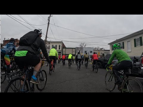
I’ve got a non-race “race” coming up in a couple weeks. It’s the “Road Apple Roubaix” in Garrettsville Ohio. It’s a bit of a season opener and only 50 miles. I know there is a rest stop (drink, toilet) somewhere on the route. But I haven’t found where the location is mentioned.
I found this video on youtube where the location is shown. I have the part where the rest stop is shown cued up on at this link:
Here is the route in RideWithGPS
RAR Long-50 Miler · Ride with GPS
In the upper right corner, you can change the map to satellite.
If you’re a Strava user, you almost certainly wouldn’t be able to find the location. Strava’s satellite image is apparently older and the key landmarks are completely missing.
If you find the location, please don’t post it. Let’s give others a chance to deduce it on their own.
